West Clear Creek – Backpacking

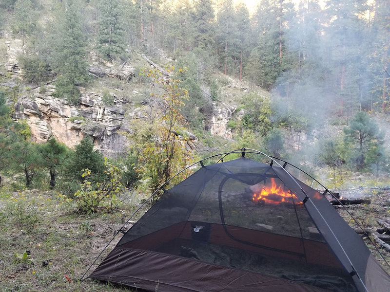
Tent on sandy bench above West Clear Creek
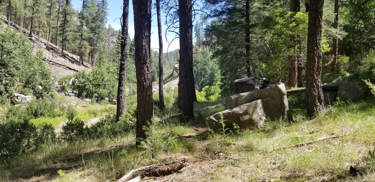
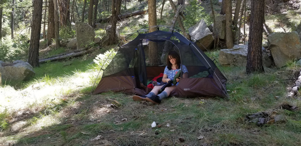
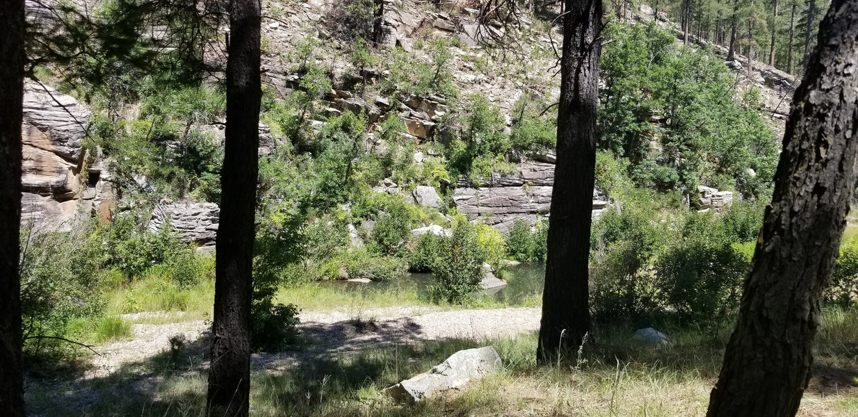
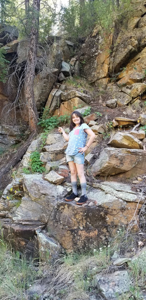
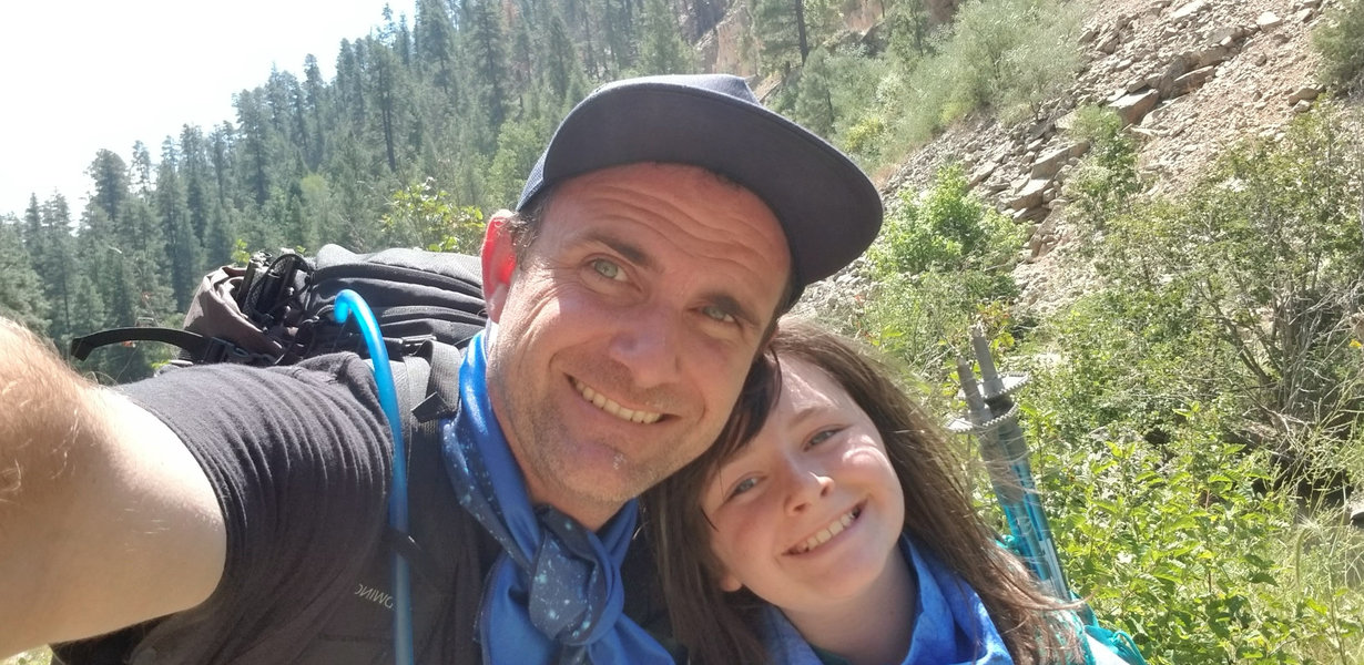
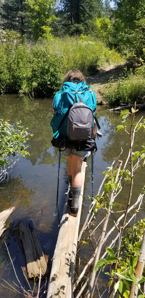
Canyon camp under pines Pool and fall color reflections Water crossing with pack Canyon walls at golden hour Shady bench campsite Trailhead area Trailhead area
BackpackingWater CrossingsCoconino NFSecludedWilderness
Overview

A short but rugged canyon approach to cold pools, shaded benches, and real solitude if you are willing to move slowly.

Expect 2–4 miles (round trip varies by camp choice) of creek-bed travel: boulder hopping, multiple water crossings, and short steep sections in and out of the benches. Crawdads are everywhere, and fall color turns the whole corridor gold.

Cell service fades quickly. Water is reliable but filter everything. Camps are on sandy benches above the creek—quiet, shaded, and far from crowds.


Best for
Light backpacking, cold pools, quiet camps, canyon walls, shoulder-season color, and people comfortable getting wet.
Watch out for
Flash-flood potential, slick boulders, thorny brush, and route finding.

Best version of the trip: pack light, expect wet feet, watch flood risk, and budget more time than the mileage suggests.

At a Glance
Region
Mogollon Rim — West Clear Creek Wilderness
Elevation
~5,000–5,600 ft
Access
Signed trailheads off FRs; final miles can be rough in wet weather
Season
Mar–Jun, Sep–Nov (cold water year-round)
Route
Creek-bed travel with frequent crossings
Water
Reliable—filter/treat
Permits
No general permit; check forest orders & fire restrictions
Cell
Spotty to none in canyon
Coordinates (area)
34.6000° N, 111.6500° W
Getting There

Multiple trailheads reach West Clear Creek (e.g., Bull Pen, Maxwell, and other spurs). Approaches vary in steepness and length—expect rougher roads and some route finding once you drop into the canyon.

  1. Check recent conditions (flow, closures, fire restrictions).
  2. Plan crossings: stash sandals or hike in fast-drain shoes.
  3. Choose a bench well above the creek for camp and flood safety.

If storms are forecast, don't commit to the narrows—turn around. Flash floods arrive silently and fast.

Before You Go
Essential Links
Reminders
  • Filter/treat all water; crawdads are plentiful but leave wildlife alone.
  • Dry bags inside the pack—expect multiple waist-deep crossings.
  • Stove only when restrictions apply; follow local fire rules.
  • Camp at least 200 ft from water where required; pack out all trash.
  • Cold water year-round—bring warm layers for camp.
Trail & Camp Notes
  • Travel pace: Boulder gardens and crossings make 1 mph feel normal—budget time.
  • Footwear: Sticky-rubber approach shoes or trail runners that drain well are ideal.
  • Benches: Look for flat sandy pockets above flood lines; wind is calm but dew can be heavy.
  • Fire: Only if/where legal; keep it tiny and scatter cold ash—better yet, use a canister stove.
  • Wildlife: Snakes and coatis show up at dusk; keep a clean camp.
My Notes

This is my go-to "short but serious" backpack. I bring creek shoes, filter everything, and plan on soaking—you earn a private canyon sunrise and the pools to yourself. Fall is the move: yellow cottonwoods, cool air, and mirror water.

  • Photo tip: Best light bounces off the walls 30–60 min after sunrise.
  • Comfort: Sit pad + small brush to clear bench sand; sleep kit stays in a dry bag.
  • Navigation: GPX + map—social trails come and go after floods.
Gear I Used

Gear that actually helped on this trip.

Map
FIND THE NEXT GREAT CAMPSITE

Match the camp to the crew you are bringing.

Kids, dogs, and first timers all like simple, predictable sites.
See all camp locations →

Contact

Tell me what you're building, fixing, or trying to figure out. I'll read it and get back to you.